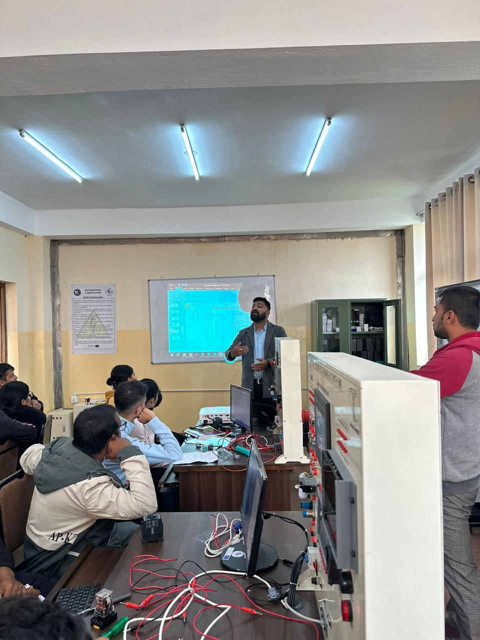
News
Survey Camp
According to the course requirements, Bachelor in Civil Engineering 3rd year students were taken Survey Camp that helped them to learn and explore.
Descriptions of the work done on the respective days:
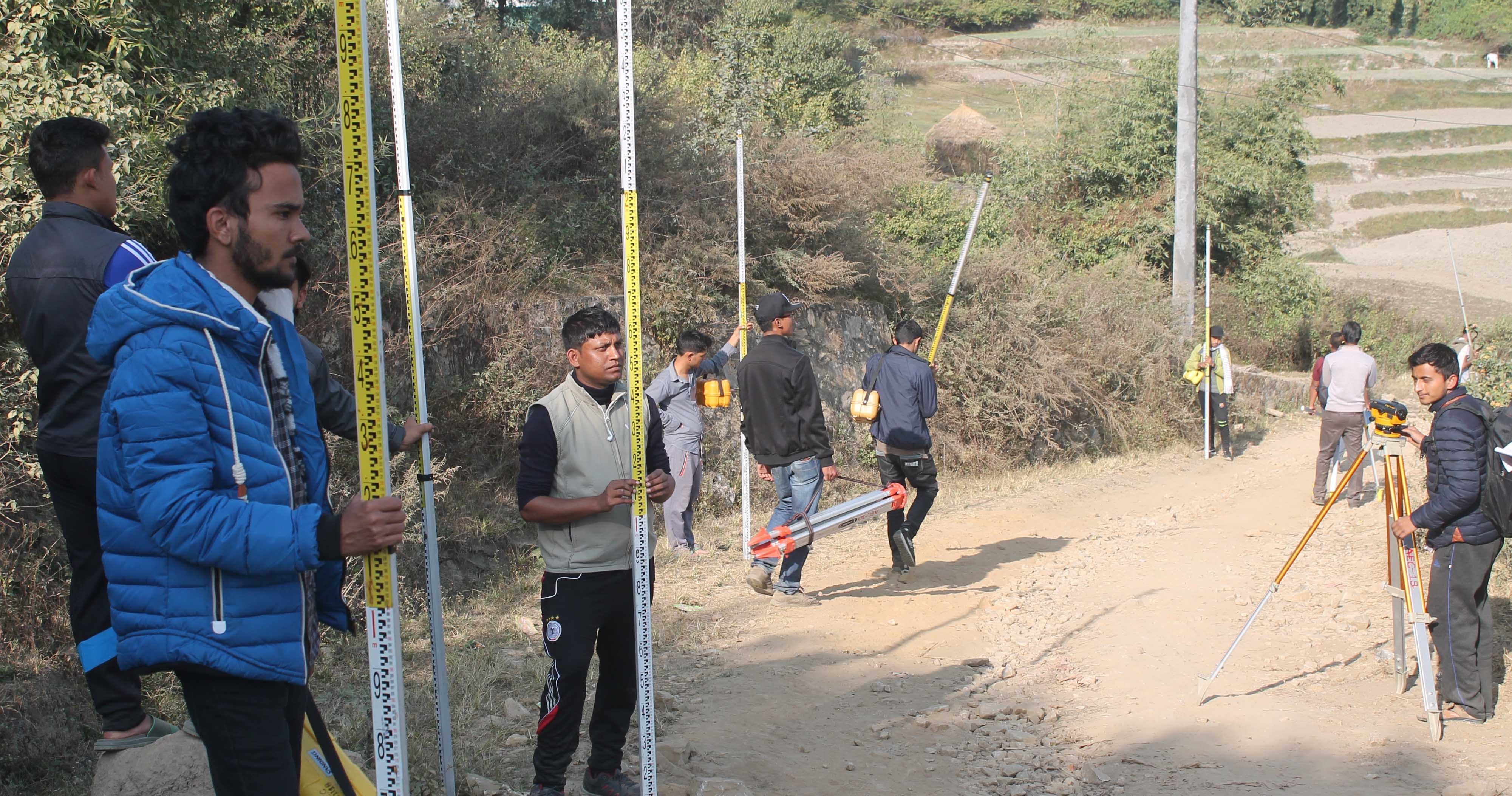
- 16th Mangsir, reconnaissance survey: We were taken to Kharipati, Bhaktapur to perform detail surveying. Teachers gave us a brief introduction about the area on this day and about our work. First of all we performed Reconnaissance survey of whole area in order to calculate traverse legs maintaining leg ratio 1:2 of the minimum to maximum traverse distance. After that we started pegging in order to cover the whole area for major traverse as far as possible. Two way measurement of the distance between control points were also done.
- 17th Mangsir, Fly Level: Fly leveling was done to transfer the R.L. from BM to TBM-1 , similarly from TBM-1 to TBM-2 and also from TBM-2 to TBM-3.
- 18th Mangsir, Major Traverse and angle measurement: We started to measure the angles and distances with the help of theodolite and total station. Two sets of reading were taken for the angular measurements.
- 19th Mangsir, RL transfer to the station points: On that day R.L. was transferred to all the stations with the help of leveling machine.
- 20th Mangsir, Road Alignment: On this day pegging, cross sectioning, setting curves as well as detailing of road were done.
- 21st Mangsir, Road Alignment: Road Alignment: Similar works were done as done on previous day and whole work for Road Alignment was completed on this day.
- 22nd Mangsir, Bridge site survey: We were taken to Muhan Khola for this work. First of all bridge axis was fixed and then triangulation was done. Leveling was done with R.L. transferred to all the major stations. Also Reciprocal leveling was also performed.
- 23rd Mangsir, Bridge site survey: On this day detailing of the bridge site survey such as L-section and cross section of the upstream of the river upto 150 m and downstream of the river up to 50 m was also performed. Hence work was completed at end of the day.
- 24th Mangsir, coordinate plotting: Computation of each traverse leg were computed with the help of the readings taken on the observation sheets. Error obtained were made within the permissible error using Bowditch’s rule and the co-ordinates of each control points were calculated. Necessary RLs were computed and checked. And the traverse was plotted on the grid paper. Grid lines were made and the major and minor traverse was plotted in the scale 1:1000 and another sheet was prepared only for the minor traverse in the scale 1:500.
- 25th Mangsir, Tachometric detailing: Detailing of the area was performed with the help of total station. During detailing all the hard details as well as contour details were taken. Similarly Plane table was used to plot the details as well as contour lines for those which were accessible.
- 26th Mangsir, Remaining works: No remaining work